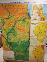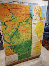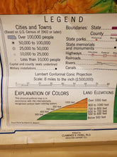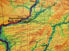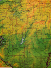
This is a really cool map. The colors and detail on this are fascinating. It's an awesome piece to display on any wall. It covers the state of Illinois including:
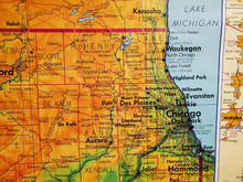
-elevations
-rivers
-county lines
-state parks & memorials
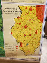
-distribution of population
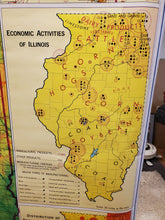
-economic activities (steel, farm, grain, chemical, paper, transportation, etc)
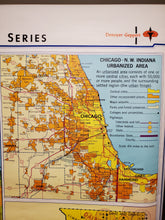
-Chicago, including the boundaries of each suburb
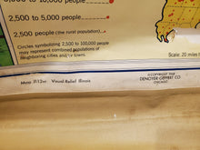
Denoyer- Geppert can be included as one of Chicago's big three map companies. The others would be Rand McNally and Reglogle Globes. Before selling to Rand McNally in 1984, they spent a solid 68 years in map making- both for classrooms and automotive. Map making is gone, but they re-emerged as a leading manufacturer of anatomical models and charts for classroom and laboratory use. That model of an ear or tooth you see in your doctor's office is probably made by Denoyer-Geppert.


